We perform all types of digital aerial precision photography missions in France and abroad. Our team of specialists then ensures the processing and analysis of the data produced: GeoData products, high precision mapping.
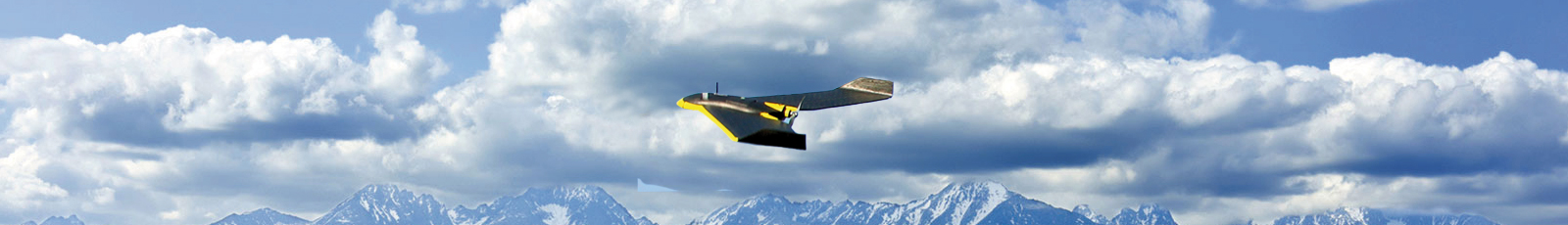
VECTOR IMAGING ACQUISITION: FIXED WING DRONE
The fixed-wing UAV offers performance and high-tech features for professional use, especially in the field of geospatial information:
- GSD (Ground Sample Distance) of less than 1.5 cm / pixel
- A relative accuracy of the 3D model and orthomosaic matching GSD 1-3x
- A horizontal / vertical absolute accuracy less (with / GCPs) less than 3 cm / 5 cm
- A horizontal / vertical absolute accuracy of less (without / GCPs) less than 1-5 m
- Dedicated sensors: RGB: Res. 16 MP, NIR Res. 12 MP, Thermal Res. Space 14cm / px 75 m – thermal resolution 0.1 ° – 4 sensors Multispectral resolution 1.2 MP
- A complete and integrated software suite for integration, processing, and dissemination of the acquired data.
 |
 |
 |
|
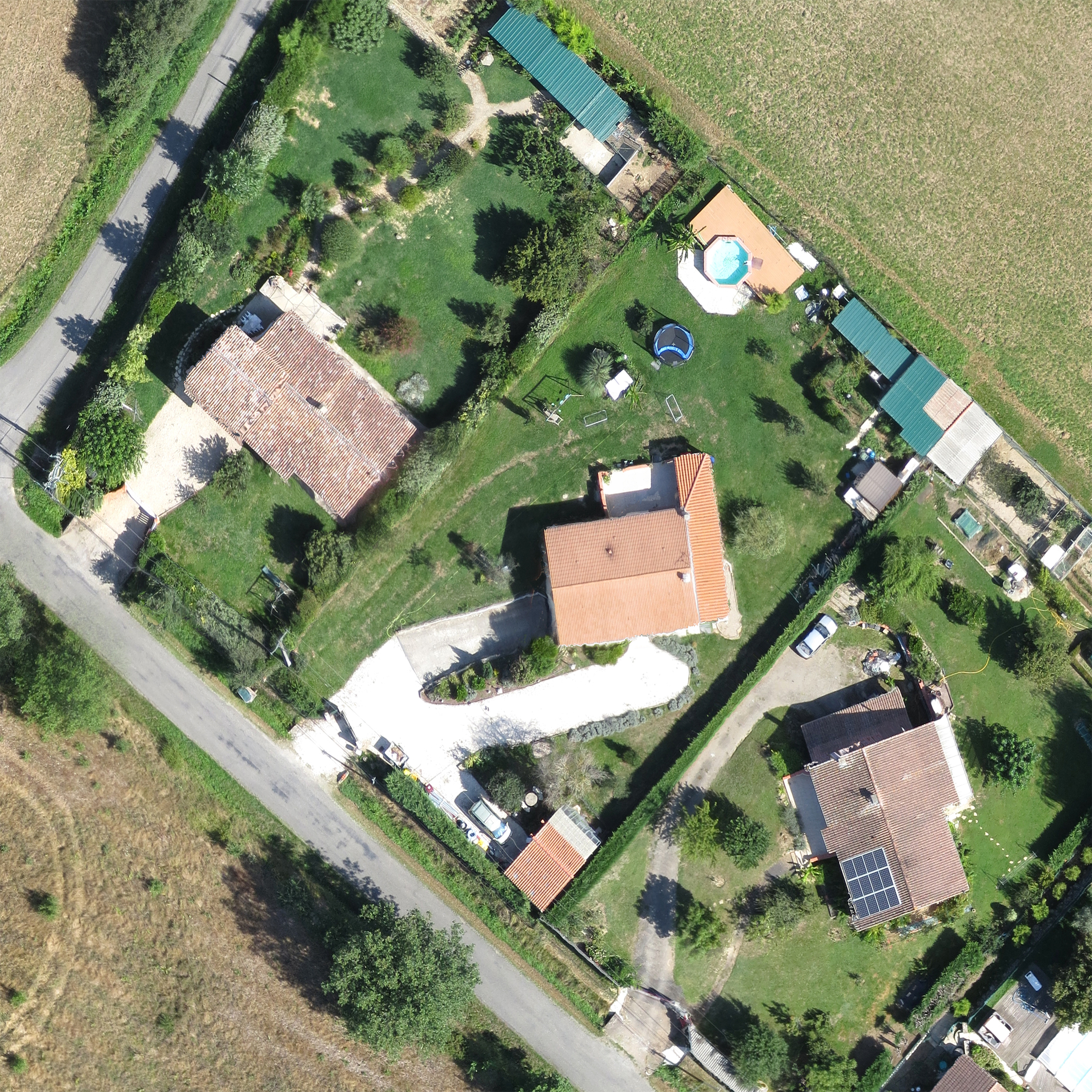
Very high resolution Ortho mosaïc |
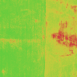
Multispectral imagery
|
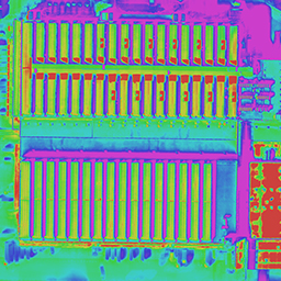
Thermal imagery
|
|
 |
 |
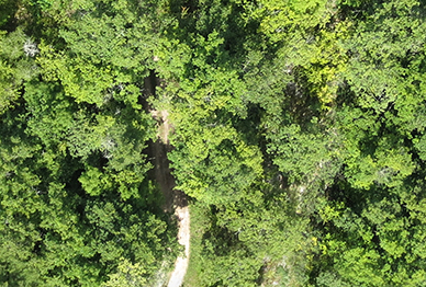
| Vegetation zoom |
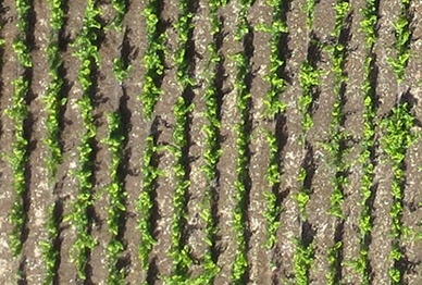
Wine yard ranks zoom |
ADVANTAGES
- Lightweight solution UAV (Unmanned Aerial Vehicle ) : precision and maneuverability
- More independent of climatic constraints as other traditional means of acquisition (airplane, helicopter, satellite)
- Cheaper solution
- International deployment
- Rapid intervention
- Environmentally friendly : electric motor, low noise
Cet article est également disponible en : French