Photogrammetry is an efficient way to obtain 3D digital images faithful to reality through a series of high definition aerial photographs. We can combine these photographs to topographical and elevation data. This three-dimentional reconstruction is also a volume measurement tool thanks to a complete study of all its faces and can be used is a variety of domains, such as archeology, quarrying, landslide prevention and heritage management and research.
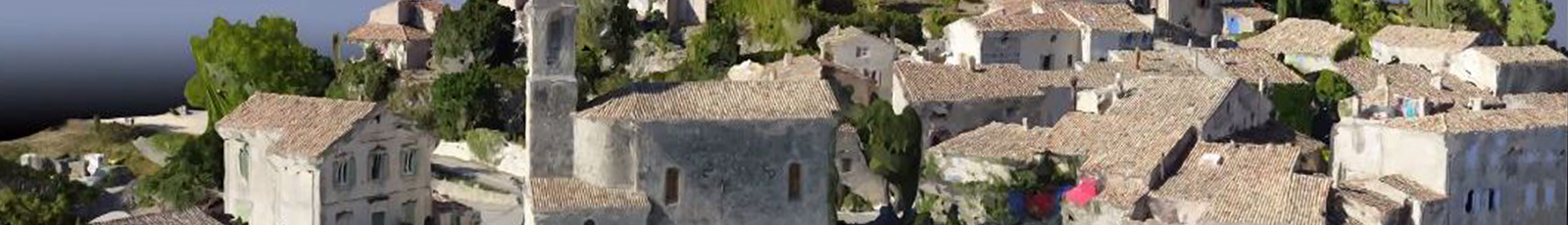
3D reconstruction example : Savoillan village South East of France
3D video presentation : Fort Saint André Villeneuve les Avignon
APPLICATIONS
- Ortho-photography
- Topographical maps
- Sloples calculation
- Volume calculation
- Building site monitoring
- Architecture : 3D modelisation : buildings and landscapes
- Town planning and construction : landscape integration
ADVANTAGES
- Quick and effective
- Cost effective
- Monitoring over time
Cet article est également disponible en : French