
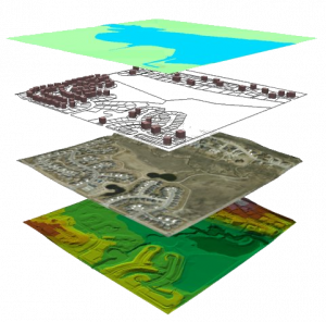
We provide spatial data from different media: paper plans, scans, etc … in order to build standar-dised GIS databases (vector or raster) to match our customers’ needs. Under GIS platform, we organse and process these geographic data to build geodatabases, maps or plans.
PRODUCTIONS
 |
|
 |
 |
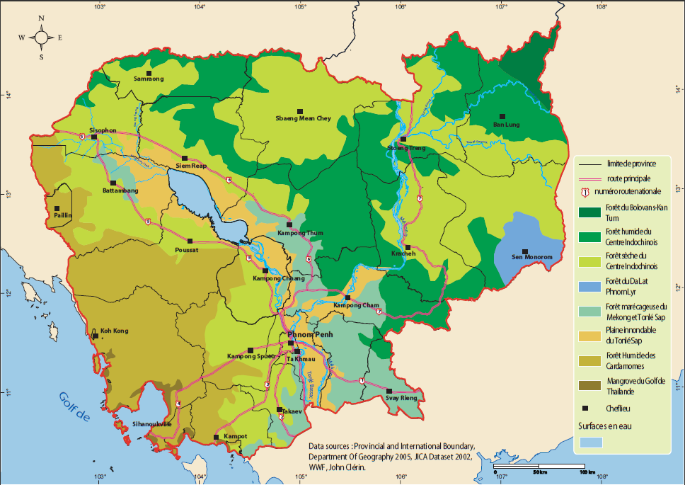
| Cartographie d’édition : atlas cartographique, projet SIPAR Cambodge |
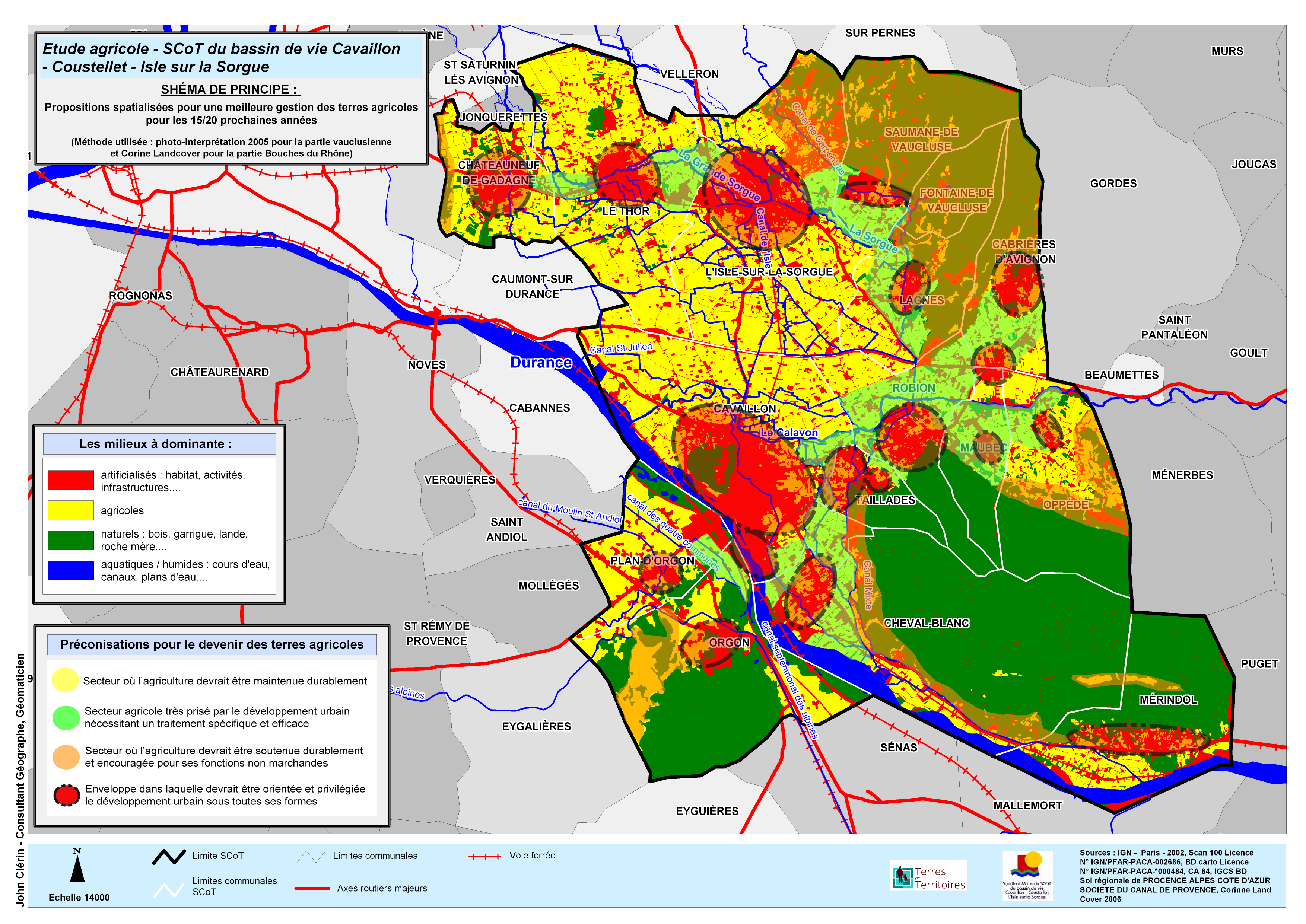
Cartographie d’étude |
ADVANTAGES
- Outsourcing
- Adaptability & flexibility to meet our customers needs’
- Fast and effective
Cet article est également disponible en : French